
Trace a Paris Street by Address
A Paris street directory search is a chain, not a single query. Start with the physical address in Lamar CAD, then preserve the geographic or property ID and legal description that identify the parcel. City GIS gives map context. The County Clerk's land index can then connect a recorded owner to a vesting deed and earlier transfers. Voter information, directories, and election files have narrower roles: they can supply a dated registration or historical clue, but they do not establish a full household.
- Search the address in Lamar CAD Property Search. Save the situs address, owner name, property or geographic ID, legal description, subdivision, and selected tax year.
- Enter the address in City GIS City Mapping. Use the verified address or place search, Layers, and Basemap Gallery to confirm the mapped location and relevant city context.
- Use the owner and legal description at the Lamar County Clerk land gateway to locate the vesting instrument, then follow each earlier grantor as a later grantee.
- For one named person, use Texas My Voter Portal as an individual registration route. Treat it as a person-by-person check, not a street roster.
- For a dated household lead, compare the address with the Paris volumes held by TSLAC, census material, and other period sources.
Keep a small log of the street form used, record date, parcel key, and source. That makes it possible to distinguish a current appraisal clue from an older occupant clue.
Search Paris Streets in Lamar CAD
Lamar CAD's property-search screen offers By Owner, By Address, By ID, ARB Search, and Advanced modes. For an address, the visible instructions favor a simple street name. The Street Name field specifically asks for no prefix, suffix, or unit number. When a full address fails, try the street name and add the number, subdivision, neighborhood, property type, or identifier to narrow the results. This is appraisal data. It can tie an owner to a parcel and show a situs or mailing address, but it is not a current household list.
| CAD field | How it works | Paris search use |
|---|---|---|
| Owner Name | Text, with last-name-first example | Find a titled owner or test a name variant. |
| Street Number and Street Name | Text; street name omits prefix, suffix, and unit | Locate one parcel or browse a simple street-name result. |
| Property ID and Geographic ID | Text identifiers | Carry the parcel key into map and deed work. |
| Subdivision or Neighborhood | Searchable selector | Narrow a broad Paris street result. |
| Tax Year | Dropdown with 2017 through 2026 | Keep the appraisal year attached to the result. |
The search screen has no visible ZIP field. A street directory search can be precise at the address level, while a broad ZIP query cannot be run from the captured CAD interface. CAD's visible year choices run from 2017 through 2026, so do not imply that the public web view supplies an uninterrupted earlier history.
See the Lamar CAD property-search interface before entering an address.
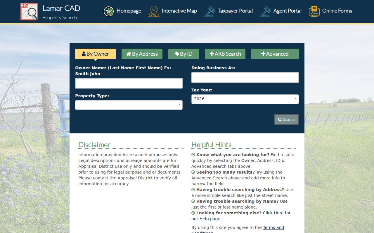
The captured tabs show why a Paris street search can begin with an address, owner, or identifier instead of a ZIP filter.
Map a Paris Street with GIS
Paris GIS City Mapping documents an address or place search bar, Layers, and a Basemap Gallery. Its named map context includes streets, water and sewer mains, zoning, and city-council districts. The Engineering page adds street, utility, flood-plain, and geography maps. After a CAD address is found, pan along the street and record the map layer used. The static city material did not verify a buffer, export, parcel-select, or direct owner-link control, so manual browsing is the supported method.
The useful division of work is simple: GIS puts the Paris street and parcel in geographic context, while CAD supplies appraisal identifiers and the Clerk preserves recorded land instruments. A colored layer is not a title conclusion, a postal boundary, or proof of a person's residence.
Use the Paris GIS mapping page to begin the address or place search.

The city instructions identify the Layers and Basemap Gallery controls that support a careful street-by-street map review.
Note: Record the displayed layer name and map date when available, because city map context can change over time.
Paris Street Addresses Have Different Meanings
A Paris situs address identifies where a parcel sits. A tax mailing address identifies where notices are sent. A legal description identifies the land interest, and a ZIP identifies a postal delivery area. Those keys can disagree without making any one of them wrong. An owner may receive tax mail elsewhere, a deed may use a subdivision or lot description instead of a modern street address, and a Paris last line can be postal geography rather than municipal residency.
- Parcel
- A defined piece of land used for appraisal and mapping. Its property or geographic ID helps join CAD and map work.
- Situs address
- The physical location assigned to the parcel, not necessarily the place where an owner receives mail.
- Plat
- A recorded map that can connect a subdivision's lots and blocks to streets. It is useful when an older deed lacks a modern address.
- Criss-cross directory
- An address-first directory that may point from a street address to a listed occupant for a particular year.
When the modern form does not retrieve a record, preserve the printed street spelling and search the legal description, lot or block, abstract or survey, and name variants. Research did not establish a Paris renumbering, quadrant, annexation readdressing, or E911 conversion year, so it would be unsafe to assume one.
Paris Street Directory Record Routes
Each Paris address source answers a different question. The table below separates a parcel-owner clue from a map layer, recorded transfer, historical listing, or request-only city file. It also shows why a street directory should not merge those kinds of evidence into one claim.
| Address record | Keeper | What it can show | Access route |
|---|---|---|---|
| Property search | Lamar CAD | Owner, situs and mailing address, identifiers, appraisal context | Free online search with 2017-2026 tax-year selector |
| City map layers | Paris GIS and Engineering | Street location, zoning, utility, flood, and district context | Public map pages; live controls need verification |
| Deed and plat records | Lamar County Clerk | Parties, transfer details, legal description, lot or block | Tyler gateway, Clerk counter, or older film |
| Voter tools | Texas SOS and Lamar Elections | Individual registration or named-election participation context | Individual portal and dated local files |
| Permit or code material | Paris Engineering, Code Enforcement, Municipal Court | Released address-specific work or case chronology | City request or office route; no public index located |
| Directories and maps | TSLAC, local repositories, Library of Congress | Dated address, listed occupant, or built environment | Reference collections and digital map items |
A record marked online is still time-bound. For a street result that needs a certified instrument or an older book, use the Clerk or the film route rather than treating a missing web hit as a missing record.
Follow Paris Street Deed Chains
The Lamar County land gateway begins with a disclaimer and an I Accept step. It describes the index as a public-convenience tool, like a library card catalog, and advises spelling variations. The Clerk, not the web index, is the source for certification. Search the current CAD owner as grantee, compare the instrument's legal description with the parcel, then search the seller or grantor as grantee in an earlier transfer. Continue backward only when the legal description or lot and block support the connection.
Online starting coverage is described inconsistently in local guidance, as 1971 in one detailed guide and 1960 in another link. The safe reading is that the online index reaches at least 1971 forward and the exact cutoff should be checked with the Clerk. For older deeds, TSLAC's Lamar County microfilm listing documents deed records and indexes reaching 1841. The Clerk counter, older books, and microfilm are the stated fallback chain.
Open the County land-record gateway to review its public-convenience notice.
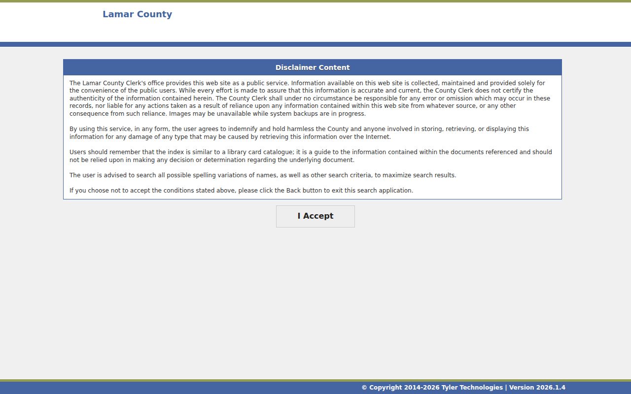
The gateway image underscores that an online index can lead to a record, while the Clerk remains the authority for a certified copy.
Request Paris Address Files Carefully
Paris Engineering and Code Enforcement are possible routes for permit, inspection, alteration, notice, or case material tied to an address. No public permit or code-results index was verified. Give the City an exact street number and name plus a date range, and ask for the defined records needed. The City of Paris Texas Public Information Act page provides online, paper, and email request routes. A complaint form is not a released case file, and city or court records can have different numbers and custodians.
Engineering's maps can help state the location accurately before a request. Ask the office whether a record is held there, by Code Enforcement, or by Municipal Court. That targeted approach is more useful than assuming a street address returns every city record.
Review Paris Engineering's map resources before describing the street and date range in a request.

The Engineering page is a map and contact route, not a verified public permit or code-search database.
Note: Scope a city request to a street, address, record type, and date range so the custodian can identify responsive files.
Date a Paris Street Before Matching It
Historic address work needs a date beside every street form. TSLAC confirms specific Paris directory years, while the existence of a local reverse or criss-cross volume remains unverified. Ask the Lamar County Genealogical Society or a library whether an address-first volume exists before relying on that method. A printed directory can use abbreviations, an older number, or a business listing. Preserve its wording, compare cross streets and lot or block information, and then test the location against the modern map.
The Library of Congress has confirmed Paris Sanborn items for 1885, 1888, and 1946-50. These sheets show built-environment context such as footprints, use, and street geography. They are not resident lists. The 1916 downtown fire and surviving older courthouse vault also make source comparison important when an older record trail has gaps.
Use Paris Voter Sources by Person
My Voter Portal supports an individual lookup through a VUID, state identification route, or name, county, date-of-birth, and ZIP route described by Texas guidance. It does not offer a confirmed all-address or all-street search. Lamar Elections also posts voters-who-voted files for named elections. Those files concern participation on a date, not an ordinary household roster, and they do not reveal ballot choices.
Protected voter and address-confidentiality rules can suppress some information. A registration status may be stale, and no result can stem from a name form, county choice, protection, or indexing limit. Use voter material only as one time-specific piece of a Paris street directory search.
Limits of a Paris Street Directory
Public records do not provide a complete list of everyone who lives at every Paris address. CAD lists appraisal and owner information for a parcel. A deed identifies recorded parties. A voter record concerns an eligible registered individual, subject to confidentiality rules. Historical directories are snapshots with gaps. DMV addresses, utility-customer data, and delivery-customer information are not general public street rolls. A missing result can reflect date, format, jurisdiction, protection, or an offline record.
Lawful use. Use Paris address records for personal, lawful research such as family history, property questions, or civic records. Do not use any result to stalk, harass, intimidate, or harm another person.
When an address trail stops, check the street format, tax year, legal description, and custodian before deciding that a record is absent. Older Lamar County materials may require the Clerk, TSLAC film, or another documented reference route.